61°28'0" N
7°12'0" W
~0m asl
12:10 (WEST - UTC/GMT+1)
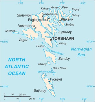
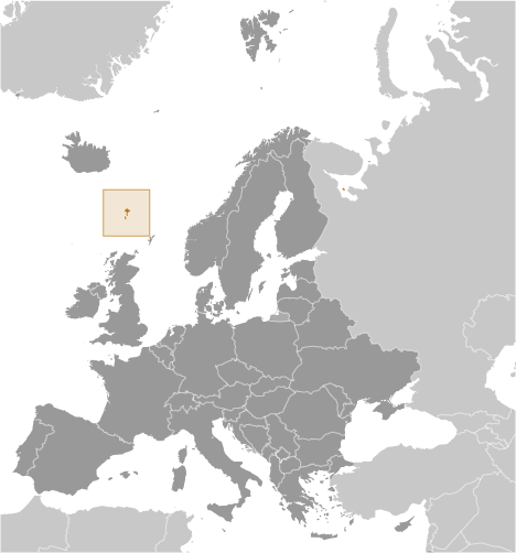
Vagur (Vágur) is a third-order administrative division (class A - Administrative Region) in Suduroy (Faroe Islands (general)), Faroe Islands [ Denmark ] (Europe) with the region font code of Americas/Western Europe...
Vágur is also known as Vag, Vagur, Vágur, Våg.
Its coordinates are 61°28'0" N and 7°12'0" W in DMS (Degrees Minutes Seconds) or 61.4667 and -7.2 (in decimal degrees). Its UTM position is NJ91 and its Joint Operation Graphics reference is NP29-06.
Current local time is 12:10; the sun rises at 07:53 and sets at 20:00 local time (Atlantic/Faeroe UTC/GMT+1). The standard time zone for Vagur is UTC/GMT+0, but since Daylight Saving Time (DST) is in effect the current time zone is UTC/GMT+1.
In 2024 DST starts on 31 Mar 2024 and ends on 27 Oct 2024.
A Third-order administrative division is a subdivision of a second-order administrative division.
|
Advertisements:
Advertisements:
|
Weather Vágur (Cloud cover, Temperature, Wind speed and Precipitation mm probab.)
Sun
Apr 28
~2 l/m2 58%
6 °C min
8 °C max
39 km/h
Thu Jan 1
|
Mon
Apr 29
~12 l/m2 85%
5 °C min
8 °C max
48 km/h
Thu Jan 1
|
Tue
Apr 30
6 °C min
9 °C max
21 km/h
Thu Jan 1
|
Wed
May 1
7 °C min
9 °C max
32 km/h
Thu Jan 1
|
Thu
May 2
~0.4 l/m2 50%
7 °C min
9 °C max
30 km/h
Thu Jan 1
|
Fri
May 3
6 °C min
8 °C max
30 km/h
Thu Jan 1
|
|
|
Vagur (Suduroy) 7 day forecast
--- There are no comments yet ---
Add a new comment:
|
Members area
Faroe Islands [ Denmark ] (Denmark):
Advertisement
GPS points near Vágur
GPS points from Faroe Islands [ Denmark ] (Denmark)
|